Media Contacts
-
Tony Jupp
Associate Director of Communications
The Nature Conservancy Australia
Email: tjupp@tnc.org
The trees of Metropolitan Melbourne are being meticulously mapped in an Australian first that will better inform city planning and maintain Melbourne’s status as one of the world’s most liveable cities.
New digital mapping technology is allowing The Nature Conservancy and its partner, Resilient Melbourne — part of the 100 Resilient Cities initiative pioneered by the Rockefeller Foundation — to map the vegetation of the entire Melbourne metropolitan area in a consistent way for the very first time. The first instalment of the mapping, covering Werribee in Melbourne’s west, has just been completed.
“This mapping is an essential element in creating Melbourne’s Urban Forest Strategy, to be released later this year,” said Dr James Fitzsimons, Director of Conservation at The Nature Conservancy Australia.
“With the population of Melbourne expected to double by 2050, there is increasing pressure on space for trees and vegetation, both on public and private lands,” said Toby Kent, Chief Resilience Officer at Resilient Melbourne. “It’s essential that we recognise the benefits that trees and other vegetation provide for people and nature across our metropolitan city. Doing so will help us to manage a range of chronic stresses and acute shocks that otherwise threaten the liveability and, in extreme cases, viability of Melbourne.”
Two other 100 Resilient Cities global platform partners, Digital Globe and Trimble are also involved in this project, providing the satellite imagery and mapping software respectively.
Shade from trees provides important cooling for a city that’s getting hotter due to climate change and the increasing cover of concrete, bitumen and roofs. Research by The Nature Conservancy has demonstrated that trees also improve our health by reducing instances of diseases such as heart disease, diabetes and depression.
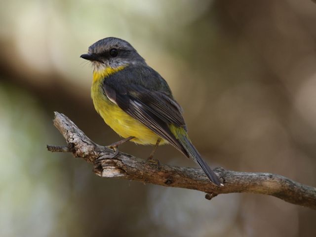
While trees are good for people, surprisingly they do not always benefit wildlife. The types of trees and shrubs we grow, and the configuration of the vegetation makes a big difference in how our native fauna, particularly birds, move through the suburbs.

Research previously undertaken by Dr Fitzsimons found streetscapes with native vegetation have a significantly higher number of native bird species than those dominated by mostly exotic tree species. “People like native birds in their neighbourhoods, but we’ll need to make smart, proactive decisions on what we plant in our suburbs if we want to see them persist into the future. That’s why the strategy we’re developing will seek to balance the shadiness and aesthetics of certain trees with their wildlife habitat value,” said Fitzsimons.
Importantly, in addition to uniting local government efforts with those of communities and the private sector, this work will support the Government of Victoria’s intention to create a metropolitan urban forest, as set out in Plan Melbourne.
The Nature Conservancy is a global conservation organisation dedicated to conserving the lands and waters on which all life depends. Guided by science, we focus on getting things done efficiently and with the greatest positive impact for conservation. We’re a trusted organisation working in more than 70 countries and territories around the world on innovative solutions to our world’s toughest challenges so that nature and people can thrive together. To learn more about The Nature Conservancy in Australia, follow us on Facebook.